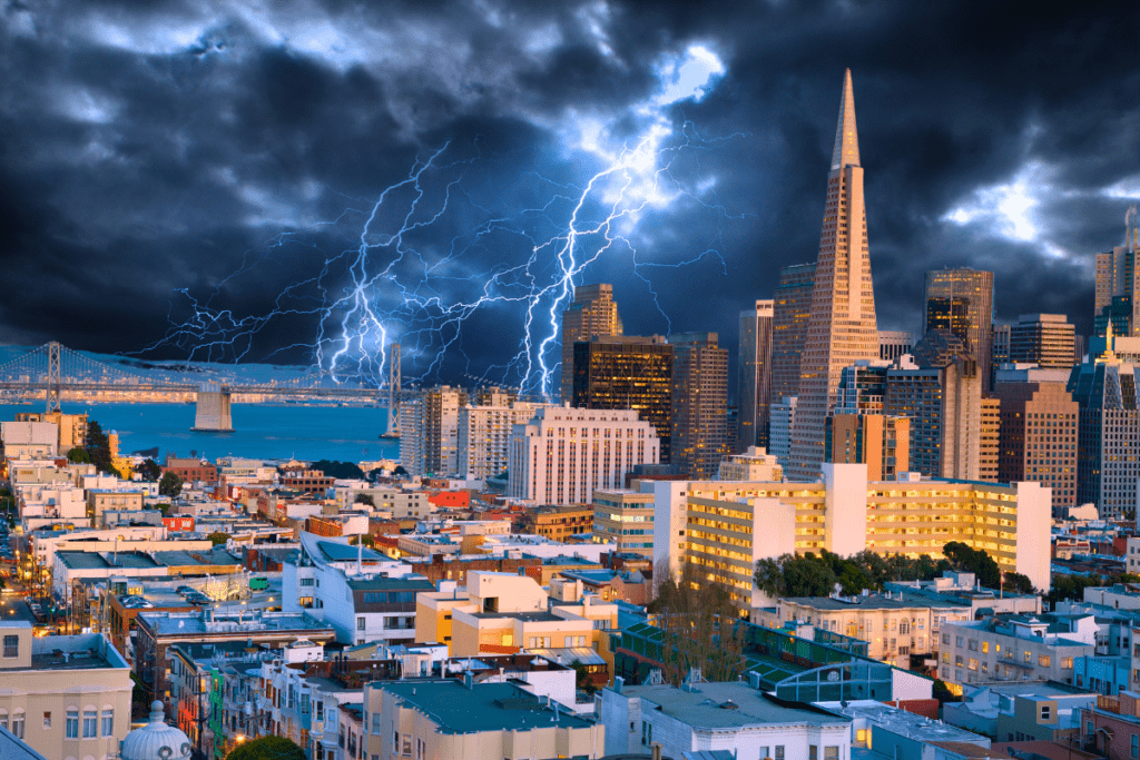
The San Francisco Bay Area is gearing up for a series of powerful rain systems that are set to bring significant rainfall and potential flooding this week. From coastal flooding risks to King Tides and heavy rain, residents should prepare for a stormy period ahead. Let’s break down everything you need to know about the weather systems affecting the Bay Area from Wednesday, December 11, 2024, through next week.
Overview of the Weather Systems Impacting the San Francisco Bay Area
Several weather systems will impact the Bay Area starting late Wednesday, December 11, and continuing through the weekend. The first round of rainfall is expected to begin Wednesday night, with a weaker system that will mostly affect the North Bay. A stronger, more intense system will arrive on Friday, December 13, bringing widespread rain and gusty winds to the region.
The National Weather Service (NWS) is closely monitoring these systems, as they have the potential to cause localized flooding, especially with the added concern of King Tides. This combination of rainfall and tidal shifts may lead to coastal flooding and hazardous beach conditions.
Rain Timeline: What to Expect
Wednesday Night to Thursday (Dec 11-12)
The initial wave of rain will move into the Bay Area late Wednesday night, well after the evening commute. According to NWS forecasts, this system will bring up to 1 inch of rainfall to the North Bay (including Santa Rosa, Napa, and San Francisco). Other parts of the Bay Area may see smaller amounts of rain, with areas in the East Bay and South Bay (such as Concord, Livermore, and San Jose) receiving up to half an inch of rain.
This first system is expected to be relatively weak, but it sets the stage for more substantial rainfall in the coming days.
Friday to Saturday (Dec 13-14)
The second, more powerful system will arrive on Friday, bringing heavy rain and gusty winds. By Friday afternoon, the North Bay could see up to 2 inches of rain, and areas like Cloverdale may receive as much as 3 inches. Napa and San Francisco are expected to see up to 1.5 inches, while the East Bay and South Bay could get around 1 inch of rain.
This system will also bring wind gusts of 40-50 mph at higher elevations and along the coast. With widespread rainfall and strong winds, Friday and Saturday could be the most challenging days for those traveling or living in flood-prone areas.
Sunday and Beyond (Dec 15-16)
Expect a brief respite from the rain on Sunday, December 15, but the rain will pick up again early next week. Models show that a third weather system will affect the Bay Area, though this system is expected to bring less impact to the region than the first two. It will, however, continue the pattern of persistent wet weather.
King Tides and Coastal Flooding Risks
One of the key concerns during this rainy period is the occurrence of King Tides, which will align with the rainfall, increasing the risk of coastal flooding. King Tides are the highest and lowest tides of the year, and they have the potential to cause significant coastal flooding, particularly in low-lying areas.
The National Weather Service has issued a Coastal Flood Advisory for the Bay Area from Thursday, December 12, at 6 a.m. through Monday, December 16, at 1 p.m. Tidal levels are expected to be at their highest during high tide, with the following projections for San Francisco:
- Thursday, 8:12 a.m. – 6.74 feet
- Friday, 8:54 a.m. – 6.98 feet
- Saturday, 9:37 a.m. – 7.07 feet
- Sunday, 10:22 a.m. – 7.02 feet
- Monday, 11:08 a.m. – 6.82 feet
Residents in coastal areas, especially those near the San Francisco Bay and San Pablo Bay, should be prepared for potential minor flooding, particularly during high tide events. Be cautious near the water, and avoid unnecessary travel to coastal areas during peak high tide times.
High Surf Advisory: Beach Safety
Along with the heavy rain and King Tides, a High Surf Advisory has been issued for all Pacific Coast beaches, except for the Santa Cruz coast. The advisory will be in effect from 1 p.m. Thursday through 4 a.m. Friday, warning residents and visitors about dangerous surf conditions.
The NWS urges people to exercise extreme caution at the beach, as the combination of powerful waves and high tides creates hazardous conditions. Keep a safe distance from the water and avoid going near cliffs or rocks, as they can become slippery and unstable.
Potential Flooding Concerns
With significant rainfall expected across the region and the King Tides, localized flooding is a real concern, particularly for areas with higher rainfall totals. Minor river flooding, coastal flooding, and hazardous beach conditions are all possible outcomes of the ongoing storms.
The Petaluma Fire Department has already issued warnings about the potential for minor river flooding in certain areas. Additionally, weather experts caution that during high tides, rivers and streams could back up, leading to even higher water levels.
San Francisco residents, who have experienced drainage issues in recent storms, should be particularly vigilant, as street drains could struggle to handle the rainfall. Communities in low-lying areas or near water bodies should prepare for the possibility of flash floods and minor river overflow.
Air Quality Improvements with Rainfall
While the rain will bring challenges, it also comes as a relief for Bay Area residents who have been struggling with poor air quality over the past week. The region has been experiencing smoggy conditions due to a combination of low air circulation and agricultural smoke drifting in from the Central Valley.
As the storms move in, the rain will help clear out the stagnant air and improve air quality, especially in urban areas like San Francisco. The government’s AirNow map has shown elevated air-quality readings, particularly in the East Bay, but this should improve once the rain arrives.
What to Expect Moving Forward
- Coastal Flooding: Keep an eye on the tides and avoid beach and shoreline areas during high tide times.
- Rain and Wind: Friday and Saturday will be the heaviest days for rain and wind, so make preparations for localized flooding and travel disruptions.
- Improved Air Quality: The rain will help clear out the haze, improving air quality in the Bay Area.
- Potential for More Rain: The Bay Area could see additional wet weather next week, with models suggesting a third wave of storms.
As multiple weather systems approach the Bay Area this week, residents should prepare for significant rainfall, potential coastal flooding, and hazardous beach conditions. With the overlap of King Tides and heavy rain, localized flooding is a real concern, especially in the North Bay and coastal regions.
Stay informed by checking weather updates regularly and taking necessary precautions to protect yourself and your property from potential flooding. Keep your emergency supplies ready, avoid traveling in severe weather, and be cautious around coastal areas during high tides.